In 2013, a Los Angeles Superior Court Judge threw out the Hollywood Community Plan, calling the document "fundamentally flawed," in part for its use of SCAG population estimates in lieu of official U.S. Census Bureau data. Five years later, the City of Los Angeles has taken a step towards a new Hollywood Community Plan, with the publication last week of a draft environmental impact report for the project.
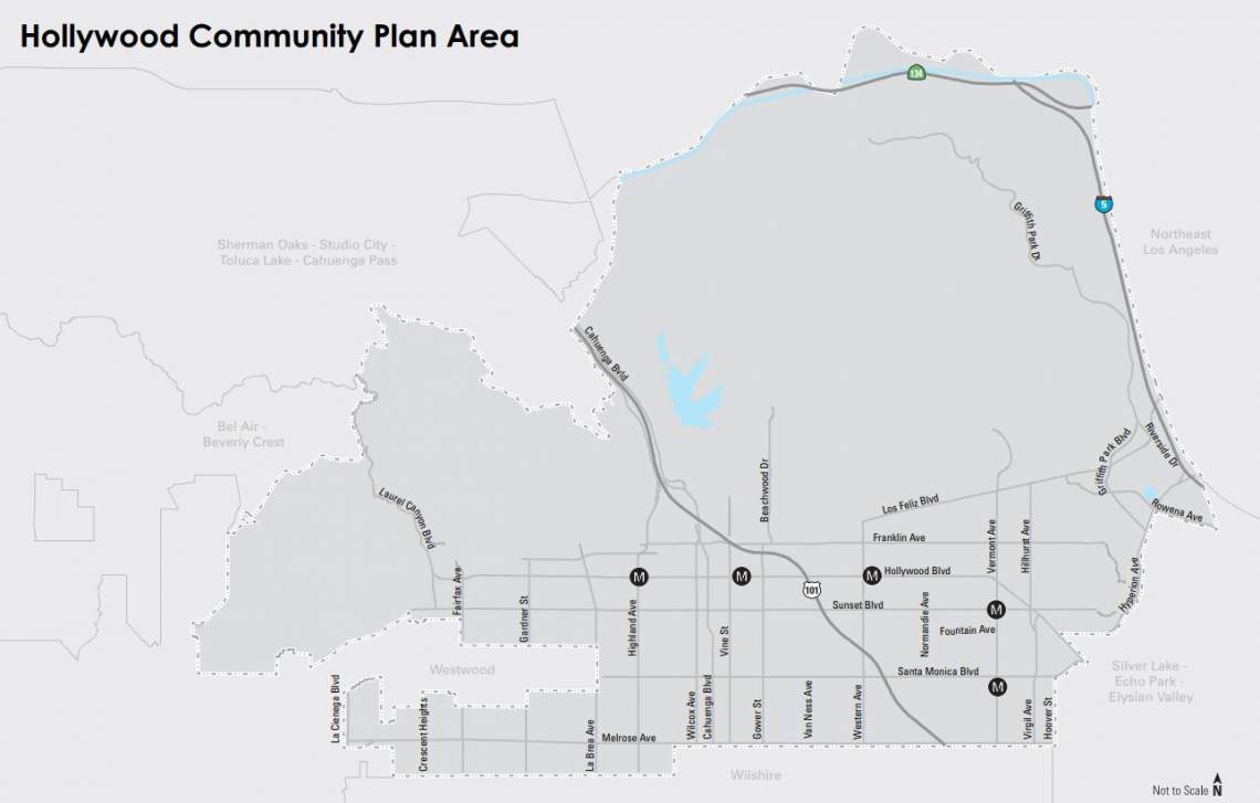
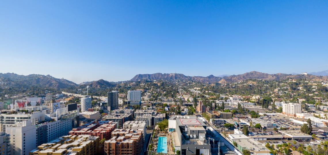
The current land use regulations for Hollywood are dictated by a plan that was adopted by the Los Angeles City Council in 1988. The plan area - spanning nearly 14,000 acres between Los Feliz and West Hollywood city limits - has seen significant changes in the three decades since enaction, most notably in the form of the construction of the Red Line subway, which has five stops located along Hollywood Boulevard and Vermont Avenue
Extrapolating from 2010 census data, it is estimated that the Hollywood Community Plan area is home to approximately 206,000 people, 104,000 housing units, and 101,000 jobs as of 2016. The 1988 plan which currently holds sway has the capacity for as many as 243,000 residents, 121,000 housing units, and 119,000 jobs. The proposed update would increase those figures to a maximum of 264,000 residents, 132,000 housing units, and 127,000 jobs.
The 2012 plan was designed to facilitate higher-density development along Hollywood's major commercial thoroughfares - including Hollywood, Sunset, and Santa Monica Boulevards - and near transit nodes. The proposed update now under consideration walks a similar path, promoting development along major transit corridors.

Examples of this include a proposed extension of the existing Regional Center Commercial land use designation along Sunset and Hollywood Boulevards east of Gower Street to the Hollywood Freeway. This extension, which increases the buildable potential of these corridors, encompasses many small and under built properties.
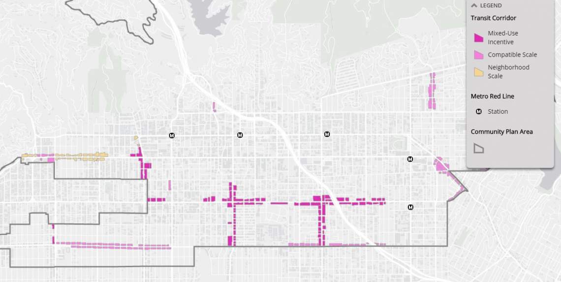
Segments of Vine Street, Santa Monica Boulevard, Western Avenue, and several other corridors are poised for modest increases in development potential, contingent on the type of use. In some cases, mixed-use or hotel projects are eligible for double the amount of floor area that would be available to single-use residential or commercial projects on the same property.
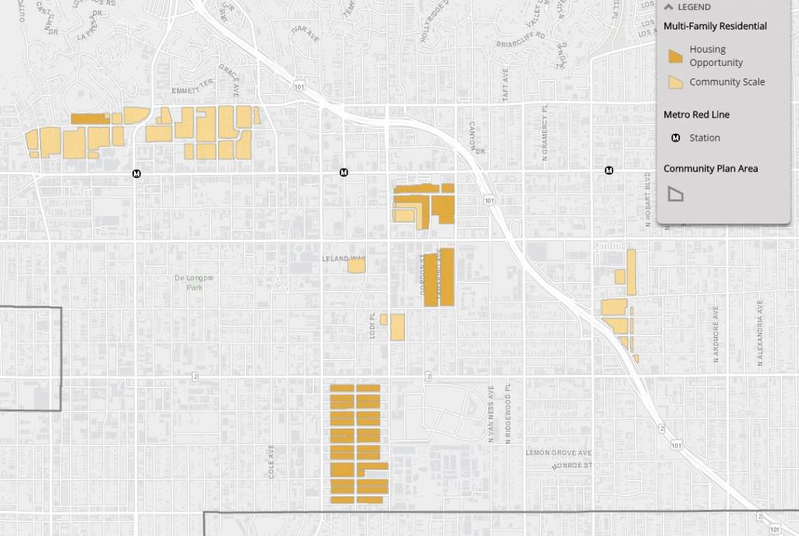
Additionally, the proposed community plan would also institute increased zoned potential for several blocks of apartments located northwest of Melrose Avenue and Vine, as well as properties near the intersection of Sunset and Bronson Avenue.
A key difference between the proposed plan and its defunct predecessor is attention to preservation. Through a Community Plan Implementation Overlay District, the city proposes additional protections for designated historic resources and a requirement for pedestrian-oriented design standards in the community plan area. Additionally, the CPIO would require that any designated resources be rehabilitated in a manner consistent with the Secretary of the Interior's Standards, and would restrict applicants from obtaining demolition permits for existing structures without having an approved replacement project.
This attitude also extends towards the Hollywood Media District, a patch of industrial land located south of Santa Monica Boulevard near West Hollywood city limits. While a few targeted sites have been targeted for higher-intensity development, the plan focuses on maintaining an existing job base in the neighborhood, though without stripping away any development potential.
The release of the Hollywood Community Plan’s DEIR is the starting point of a comment period which will run through the end of January 2019. Several steps remain before the new community plan can be adopted by the Los Angeles City Council, including a final environmental impact report and a hearing before the City Planning Commission.
- Hollywood Community Plan Archive (Urbanize LA)
- Holywood Community Plan Update (Official Website)